

Elevate Surveying
Your Land Development & Surveying Experts
Providing Quality Land Surveying services to South East Queensland
Our Services
-

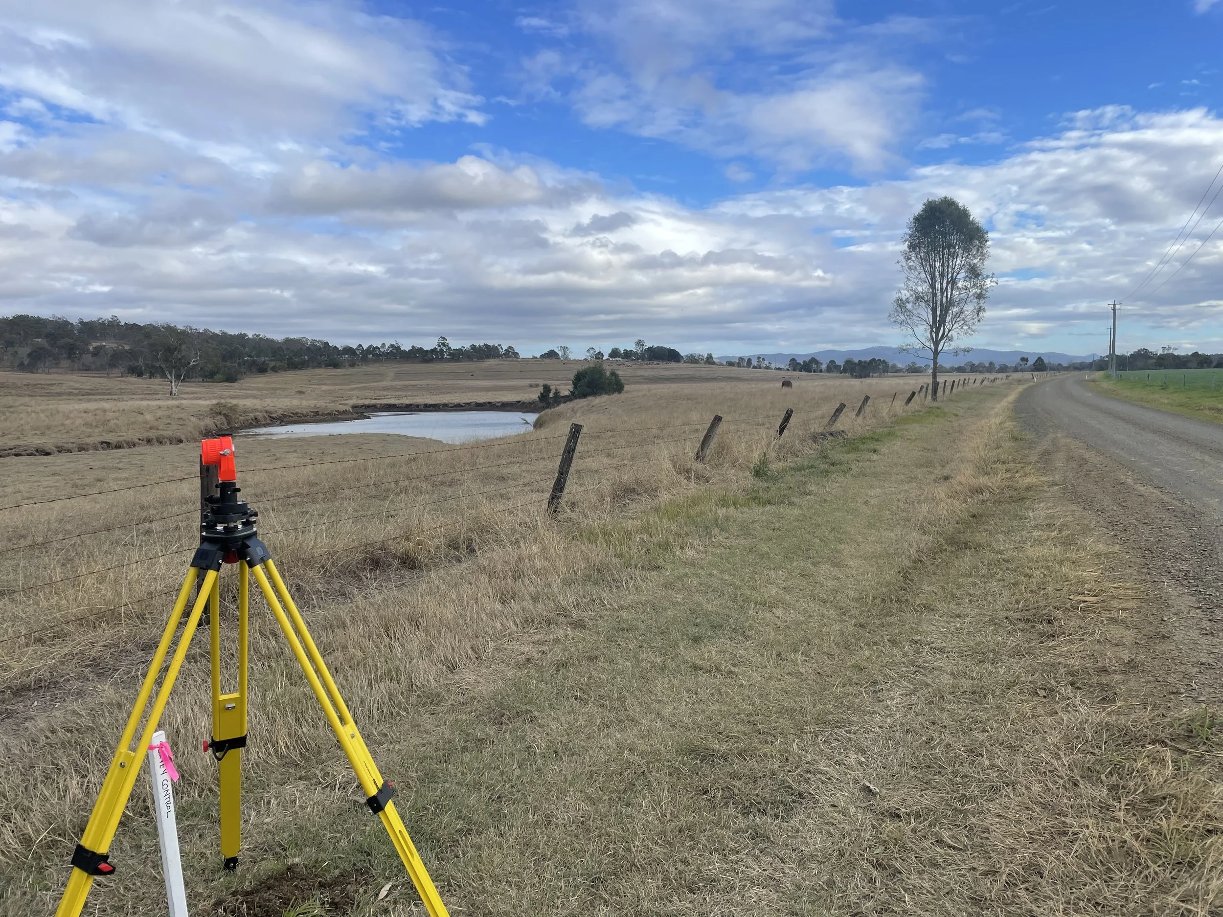
Contour & Feature Surveys
-

Boundary Reinstatement
(Identification Surveys)
-

Subdivision & Land Development
-

Subdivision Proposal Plans
-

Building & Construction Setout
-

Lease Plans
Commercial Building Leases & Leases of Land
-

Easement Surveys
-

Laser Scanning & Drone Surveys
Our Approach
Our approach to land surveying is focused on delivering prompt and top-quality services for land development and boundary reinstatement. We prioritise client satisfaction by keeping you well-informed and involved throughout the entire process. This client-centric approach ensures a seamless experience and personalised attention for every project we undertake.
Our Projects
-
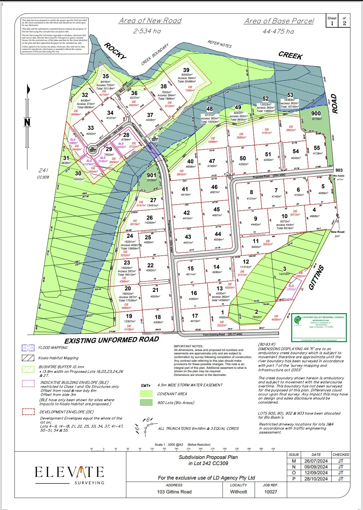
Case Study Rural Residential Subdivision
Contour (LiDAR) Survey & Subdivision Concept for a 44.475ha Vacant Site - 103 Gittins Road, Withcott QLD

Who We Are
Elevate Surveying is a specialised land surveying company serving clients across South East Queensland. Although we are a recently established company, our director has over 15 years of experience in the industry, including 8 years serving the local community.
At Elevate Surveying, we pride ourselves on delivering specialised, high-quality land surveying services in the land development and property boundary sectors. Our team is dedicated to providing clients with accurate and reliable information to support their development projects.
We offer a range of land surveying services, including boundary identification, construction, detail and subdivision surveys. Our team is made up of highly experienced and knowledgeable professionals who are committed to delivering the best results for our clients.
At Elevate Surveying, we believe that every client deserves personalised attention and tailored solutions to meet their unique needs. Our goal is to build long-lasting relationships with our clients based on trust, reliability, and exceptional service.
Our Mission
With years of experience and established relationships with councils and other consultants, we strive to instill confidence and alleviate stress during a critical phase of your project.
At Elevate Surveying, we value building strong relationships with our clients and take pride in providing personalised services to each and every one of you. Whether you're a homeowner or a developer, our team is here to help you navigate the land development and titling process with ease.
We invite you to explore our website to learn more about our services and how we can assist you with your project.


James Tombleson
Director & Consulting, Cadastral Surveyor
James is a highly skilled surveyor with over 15 years of experience in land development, titling, infrastructure projects and construction. He has successfully built his knowledge base and expertise in both New Zealand and Australia, and is known for his passion for problem solving and dedication to providing the best outcomes for his clients.
Testimonials