

Projects that show what we deliver.
A selection of completed projects across South East Queensland — from straightforward site surveys to complex multi-lot subdivisions. Every project is different. Here's how we handle them.
Projects worth looking at closely
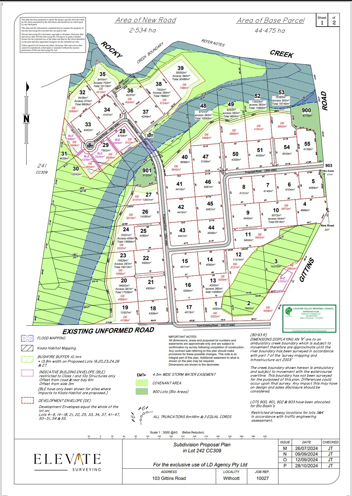
A large greenfield subdivision requiring careful design to maximise yield while satisfying council planning requirements. James was engaged early — at the design stage — to develop the subdivision layout, assess constraints, and prepare the proposal plan to support the Development Approval submission.
Our involvementRather than being brought in at the end to simply peg a pre-approved plan, Elevate worked alongside the town planner from the outset. This early involvement allowed the layout to be optimised around surveying constraints — access, gradients, and boundary configurations — before the DA was lodged, avoiding costly redesigns later.
Development Approval successfully obtained for a 55-lot subdivision. The early surveying input contributed directly to a layout that was both council-compliant and commercially viable for the developer.
Elevate was engaged to carry out a contour and feature survey to support a granny flat development application. During the field survey, our team identified that the existing registered easement did not accurately cover the location of a council stormwater asset on the property.
The problemThe stormwater infrastructure — a council-owned asset — was partially located outside the boundaries of the registered easement. Left unaddressed, it would have created legal exposure for the property owner and potential issues with council during the DA process.
Elevate identified the discrepancy, coordinated with council, extinguished the existing easement, and created a new one in the correct location — all resolved before the DA was submitted. The client avoided what could have been a significant and costly title issue.

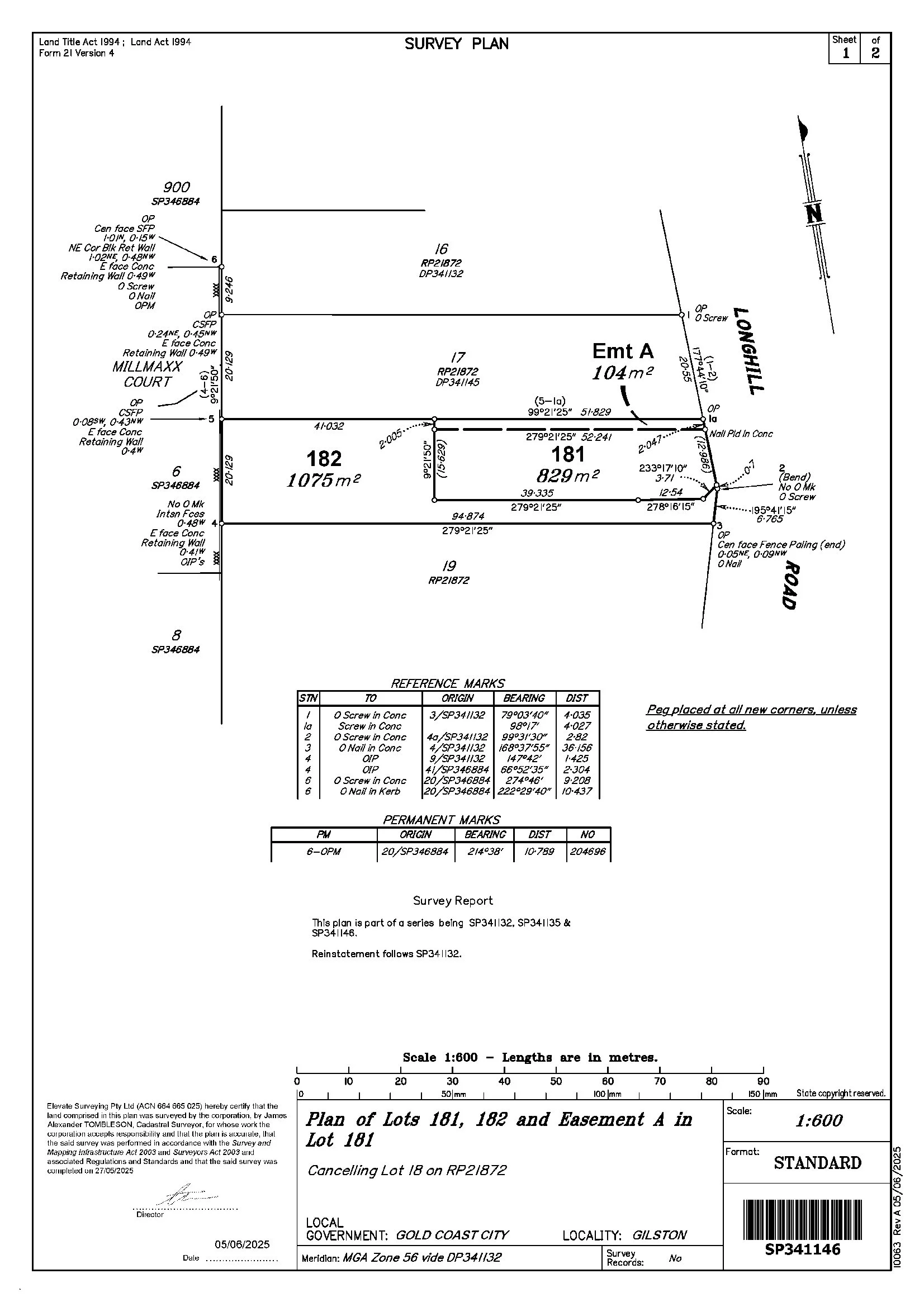
Three adjoining properties, each requiring a 2-lot subdivision, all progressed simultaneously. Elevate was engaged from the initial contour and feature survey stage and managed all three through to final plan registration at the Titles Office.
The approachRunning three concurrent subdivisions requires precise project management to keep each at the right stage without letting any fall behind. Elevate coordinated the fieldwork, proposal plans, and titling across all three properties in parallel — working closely with the client and their town planner to keep timelines and certifier requirements aligned across all three lots simultaneously.
All three 2-lot subdivisions successfully registered at the Titles Office. The concurrent approach saved the client significant time and coordination overhead compared to running each project sequentially.
Elevate was engaged by a town planner to carry out a contour and feature survey of the site to support a development application. The survey captured all existing site features — structures, vegetation, services, and levels — providing the planner with accurate data to underpin the DA submission.
Added valueDuring the survey, a sewer locate was carried out at the rear of the property to confirm the precise position of a council sewer asset. Knowing the exact location of council infrastructure relative to the proposed development envelope is critical — both for the planning submission and for any future design and construction work on the site.
Accurate contour and feature data delivered to the town planner, with confirmed sewer asset location included in the survey. The client had everything needed to progress the DA with confidence and no surprises at the design stage.

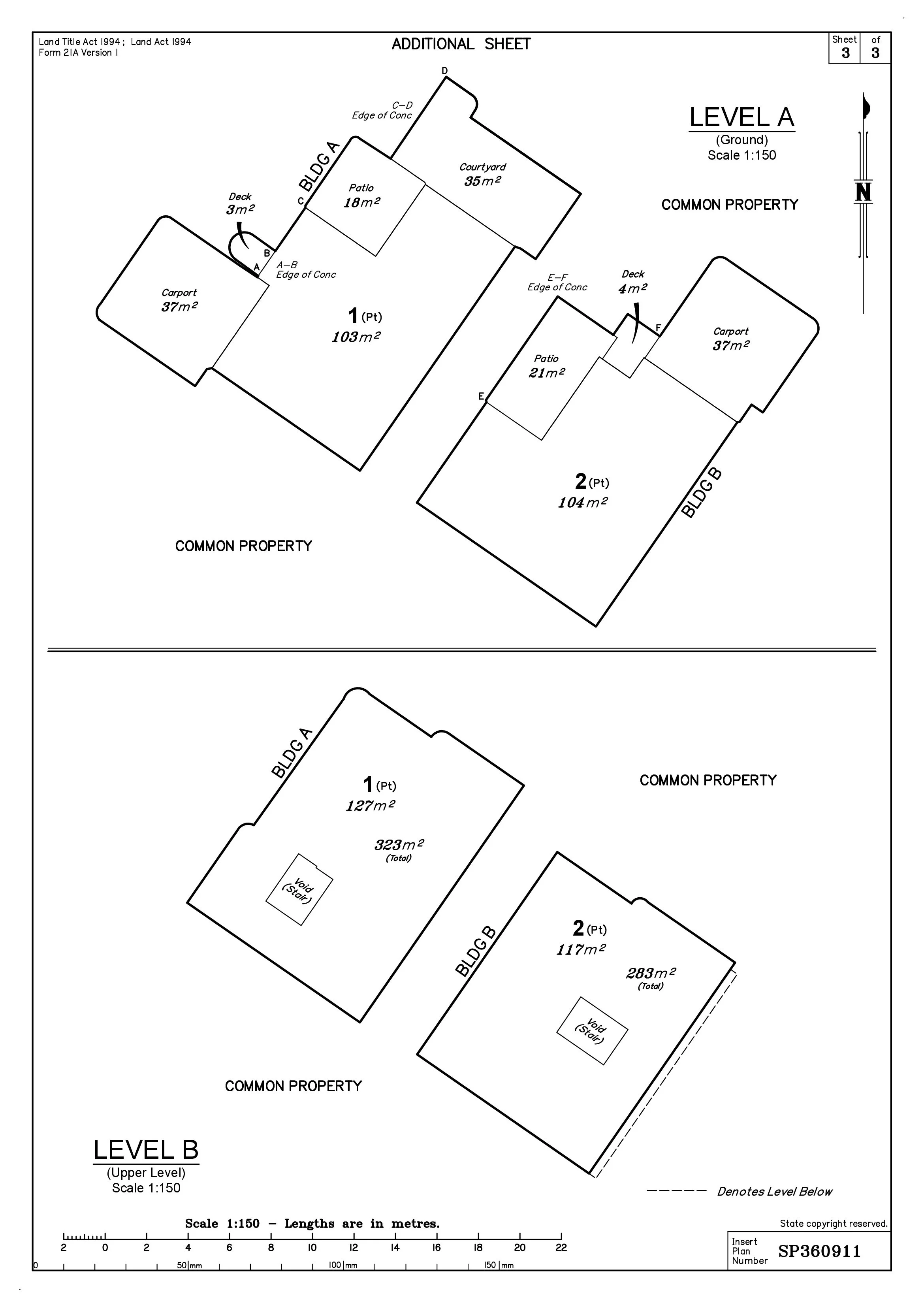
Engaged at the early stages alongside the client and town planner. Elevate carried out the initial contour and feature survey to support the design phase, then saw the project through post-construction to successful registration of the 2-lot Building Format Plan at the Titles Office.
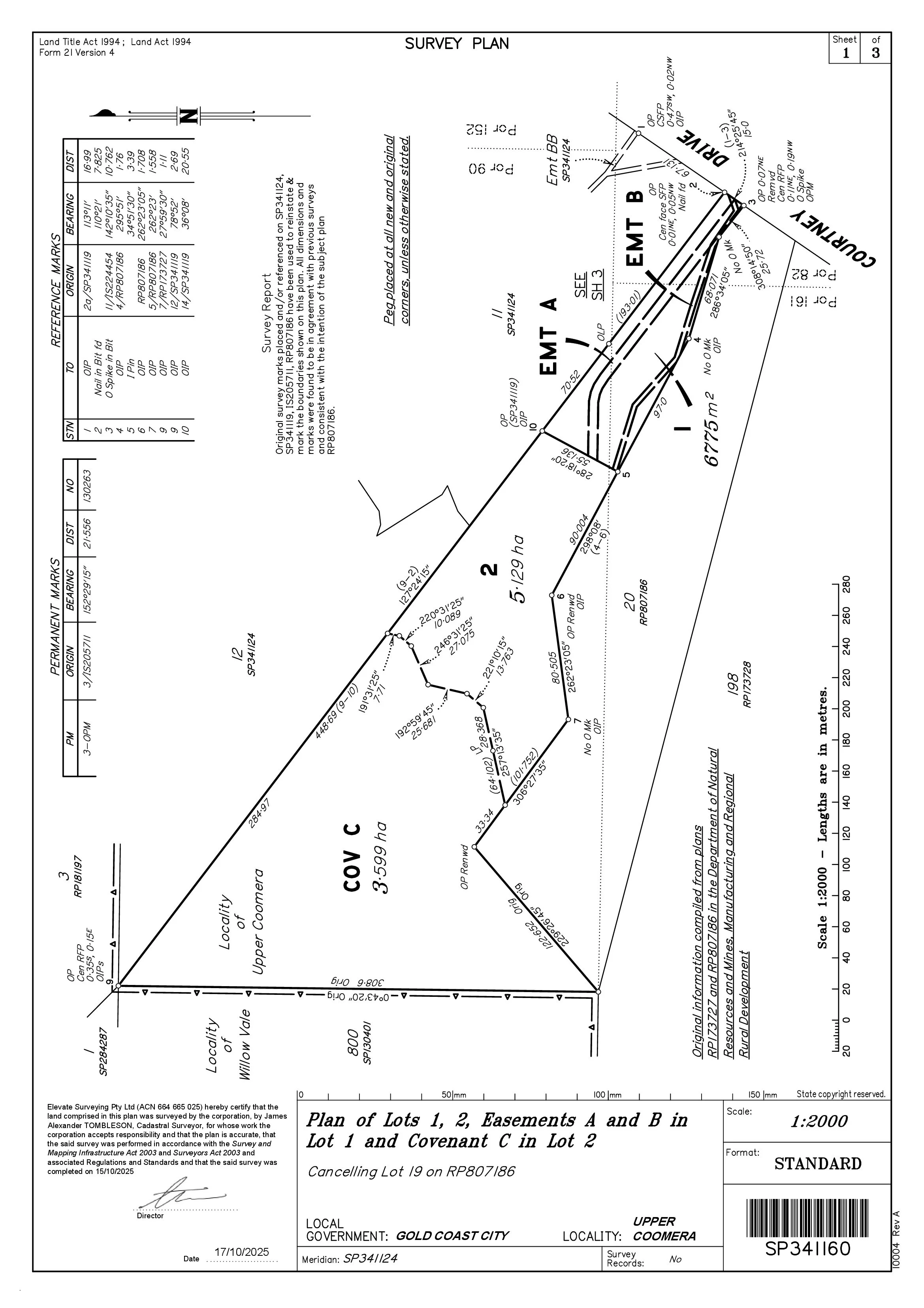
A 2-lot subdivision of rural land managed by Elevate from initial proposal plan through to final titling. Rural subdivisions carry their own requirements around road access, lot size, and council overlays — all navigated as part of our end-to-end service.
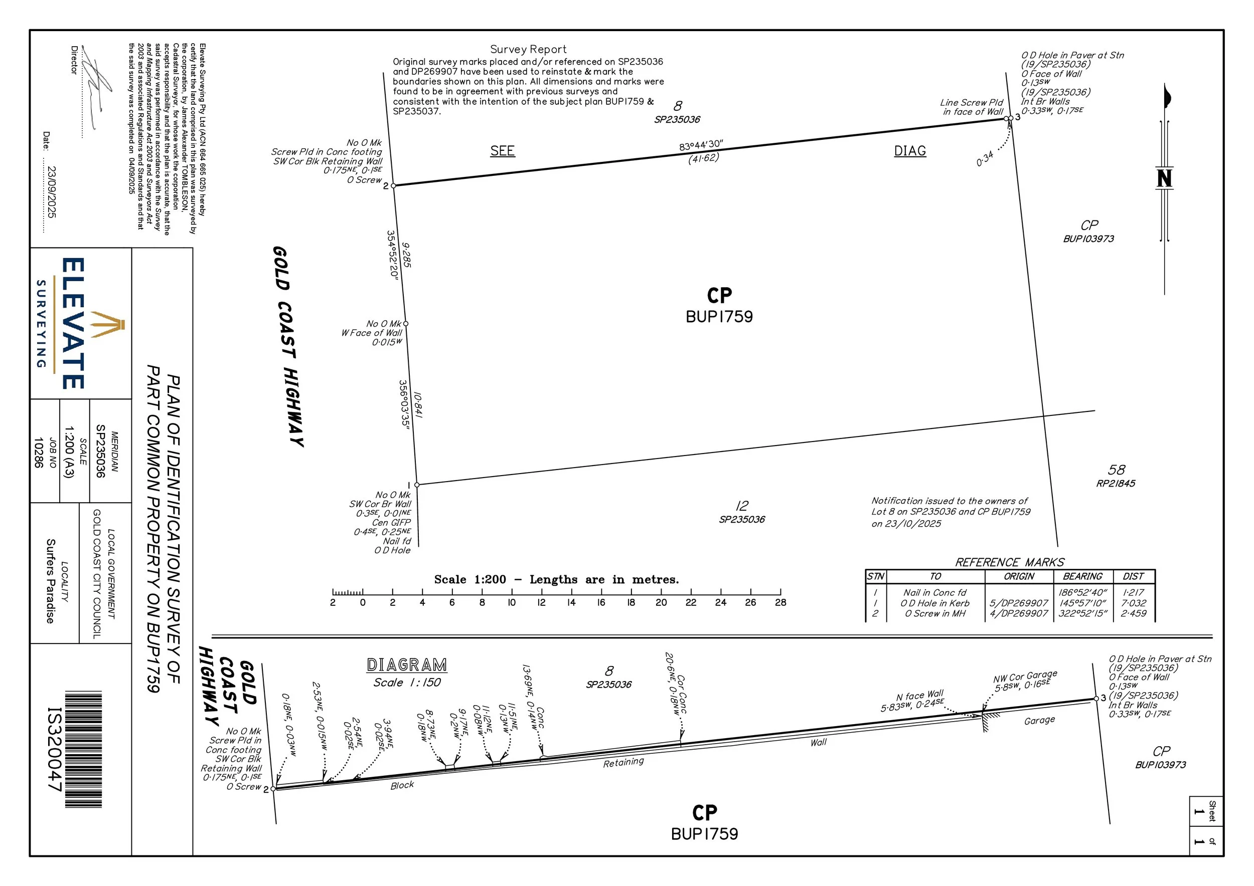
Identification survey carried out to precisely locate and mark the property boundary, confirming the position of an existing retaining wall relative to the boundary line. A clear example of how a registered cadastral surveyor provides certainty in high-density areas.
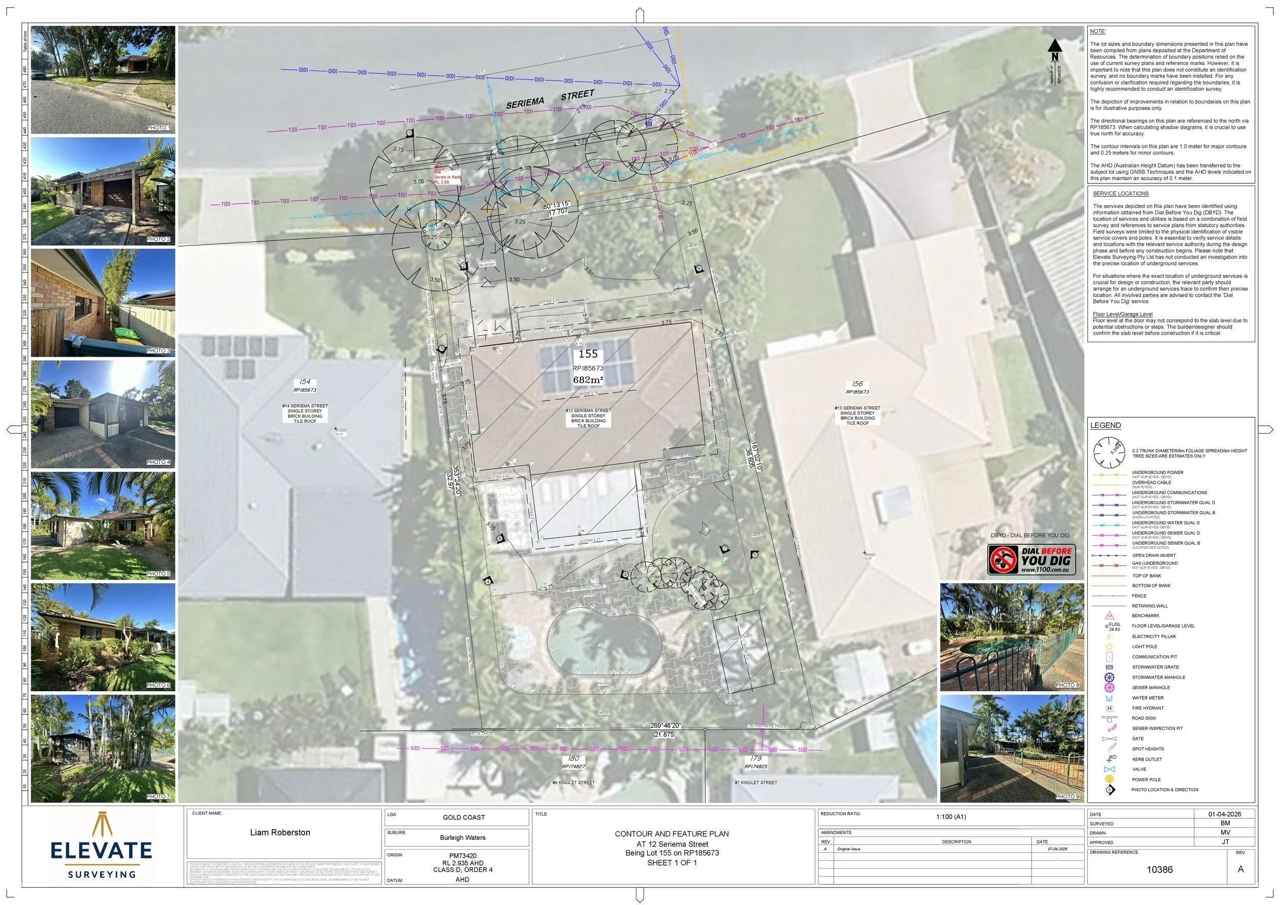
Contour and feature survey to assist an architectural drafter with design documentation. Accurate site data — including existing structures, services, vegetation, and contours — provided the foundation for the architectural drawings and development application.
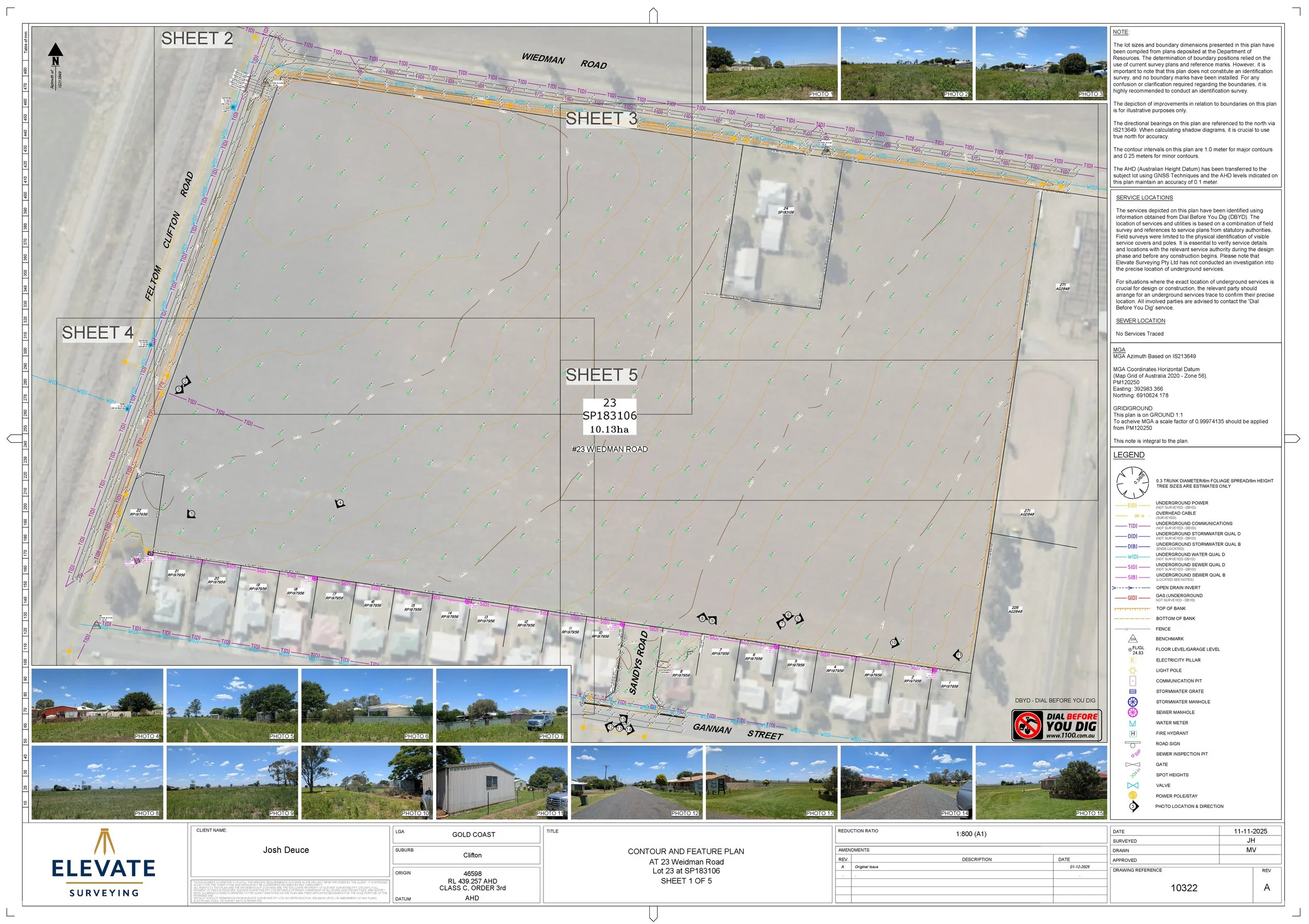
A larger-scale contour and feature survey to assist an engineer with civil design. Larger rural and semi-rural properties require methodical field coverage and accurate data to support engineering design — particularly for drainage, earthworks, and infrastructure planning.
More projects coming soon.
We're always adding to our portfolio.
Have a project in mind?
Tell us what you're working on and we'll come back to you with a clear scope and fee estimate — usually within one business day.
Get in Touch →